Daily forecast | From First Alert Chief Meteorologist Riley Hale
Isolated storms possible today. Highs near 90 Friday-Saturday. FIRST ALERT for severe storms possible Sunday.
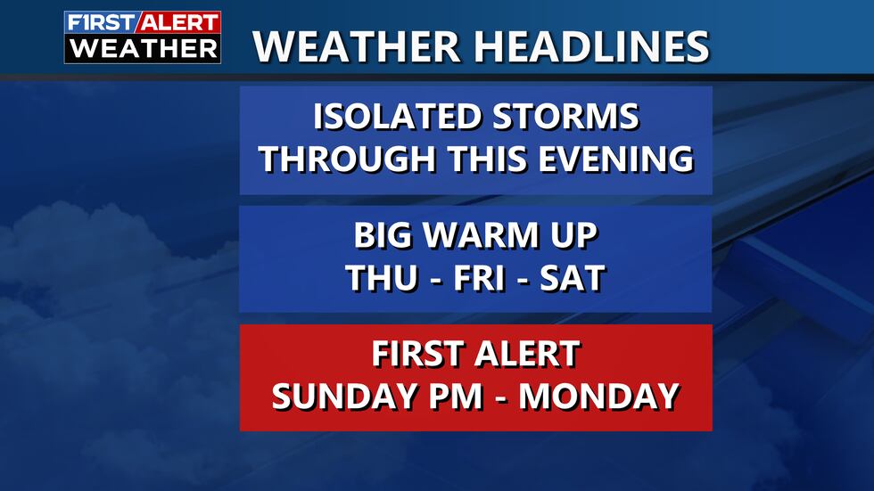
AUGUSTA, Ga. (WRDW/WAGT) - Isolated storms will be possible this afternoon/evening as a warm front moves through the region. Near record high temperatures are expected Thursday, Friday, and Saturday. More storms will arrive Sunday as a cold front moves through the region. A FIRST ALERT has been issued for Sunday afternoon into early Monday for the risk of severe storms and flood risk.
Today will be warmer with highs in the mid-80s and a steady breeze out of the south-southeast gusting 20-25 mph. Isolated storms will be possible in the afternoon and evening as a warm front lifts through the region providing enough of a boost for a few storms to develop, but severe weather is not expected. We will be mostly dry after midnight with temperatures staying in the upper 60s towards early Thursday morning.
Thursday will be dry with partly cloudy skies. Highs will be warmer in the upper 80s. Friday and Saturday will get warmer with highs up to 90°. Highs near 90 will be close to record highs for this time of year. Looking mostly dry Friday and Saturday with partly cloudy skies. Morning lows will also be well above average for this time of year in the mid-60s. Patchy dense fog will be possible near sunrise.
A cold front will bring the risk for scattered thunderstorms Sunday - mainly late in afternoon/evening. Severe weather chances look low right now, but it is a threat we are monitoring and have issued an early FIRST ALERT. Models are not in agreement of how quickly this front will move through the region, which will influence severe risk. Stay updated on the forecast the next few days.
The front is expected to slowly push through Monday continuing rain chances across the region early next week. Rain totals up to 2″ will be possible between Sunday-Monday. Localized flooding will be possible for flood prone areas. Behind the front, much cooler air will move in for the majority of next week. Morning lows in the upper 30s look possible Wednesday and Thursday morning next week.
Keep it here for updates!
Copyright 2025 WRDW/WAGT. All rights reserved.


